Hawkesbury People & Places
Swallow Rock Reach Walking Trail
Walking track
See also Argyle Bailey Memorial Reserve See also Argyle Bailey Memorial Reserve Draft Plan of Management, January 2007 https://www.hawkesbury.nsw.gov.au/__data/assets/pdf_file/0020/6293/Argyle_Bailey_Memorial_Reserve.pdf
Source: McHardy, Cathy
Situated in Argyle Bailey Memorial Reserve, sometimes referred to as Swallow Rock Reserve or Ebenezer Church Reserve this easy grade walking track of about 1200 metres follows the bank of the Hawkesbury River along Swallow Rock Reach from Ebenezer Church to Ebenezer Wharf Road, Ebenezer, New South Wales. The track was constructed by participants in the Landcare Environment Action Program in Western Sydney (L.E.A.P) supervised by Greening Australia N.S.W. Funding was made available by the NSW Department of Public Works and with the assistance of Hawkesbury City Council.
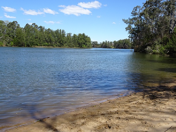
The walk travels through several different environments including Tall River Flat Forest and Open Woodlands and provides expansive views of the Hawkesbury River.

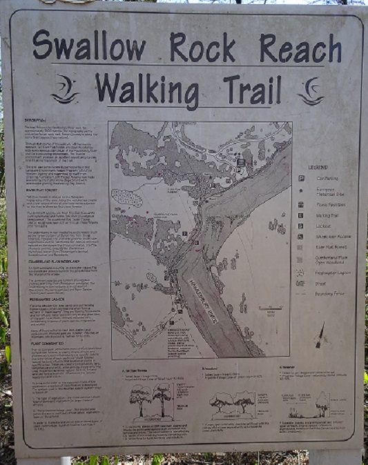
Signage at the beginning of the walk near Ebenezer Church. Credits: Cathy McHardy 2018

View of Hawkesbury River from the beach along the walking track. Credits: Cathy McHardy 2018

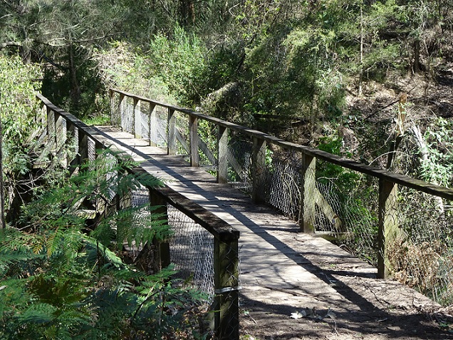
Boardwalk crossing a small creek. Credits: Cathy McHardy 2018

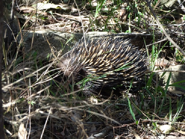
Echidna foraging for insects at the side of the walking track. Credits: Cathy McHardy 2018
The Swallow Rock Reach Audio Walk is available on YouTube at https://www.youtube.com/watch?v=AaDpZve6pwM
Location of Swallow Rock Reach Walking Trail
Categories for Swallow Rock Reach Walking Trail
Related Locations of Swallow Rock Reach Walking Trail
You are welcome to add a comment, provide further information or suggest a correction, relevant to the history of this name.
Please make your comment below. PLEASE NOTE that comments are moderated and only relevant comments will be published
Property Research Service
Have you ever wondered when your house was built or who has owned your property over the years?
